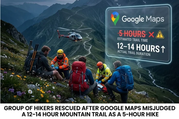
A married couple attempting a single-day hike on British Columbia’s Howe Sound Crest Trail required rescue after underestimating a route that google map suggested would take roughly five hours when experienced hikers typically need 12 to 14 hours or longer. The pair arranged a shuttle, parking their vehicle at Porteau Cove before heading to Cypress Mountain, where they began their hike at approximately 9 a.m. Pacific Daylight Time on Sunday, July 5, 2026. By the time they reached James Peak, roughly a quarter of the way along the 29-kilometer trail with approximately 2,000 meters of cumulative elevation gain, they had already been hiking for nearly 12 hours and were exhausted.
Realizing they could not continue safely as darkness approached, lacking overnight gear or a backup plan, the couple contacted emergency services around dusk. Lions Bay Search and Rescue responded, coordinating with Talon Helicopters for a nighttime hover extraction, the unit’s first operational night hover rescue. Three LBSAR members were inserted near the hikers at James Peak, and the group was safely lifted out by approximately 10:30 p.m. that evening. North Shore Rescue was placed on standby during the operation in case a CDFL response was required.
The hikers were poorly equipped for the demands of the trip, significantly underestimating the trail’s technical scrambling sections, loose rock, alpine exposure, and overall commitment. Reports indicate reliance on general mapping applications contributed to the optimistic timeline, leading them to push forward without adequate preparation for backcountry conditions. When they reached James Peak and assessed their fatigue alongside the fading light, they understood the estimates had not accounted for real terrain challenges and promptly sought assistance through emergency channels. Lions Bay Search and Rescue noted that the Howe Sound Crest Trail requires careful planning, appropriate equipment, sufficient food and water, and a realistic understanding of the time and fitness required to complete it.
No lawsuit against Google has been reported or announced in connection with this incident. Officials and backcountry guides emphasize that general mapping applications are not designed for wilderness navigation and recommend specialized tools such as AllTrails or Gaia GPS alongside traditional planning methods. While the Howe Sound Crest Trail attracts hikers for its sweeping views, it demands respect for its length, elevation gain, and variable conditions. Most parties complete it over two or three days, camping at spots such as Magnesia Meadows. Lions Bay Search and Rescue continues to stress that anyone attempting the full trail carry enough equipment to remain out after dark or spend an unexpected night in the backcountry. Trail statistics, including its 29-kilometer distance and roughly 2,000-meter elevation gain, are available through AllTrails and other specialized hiking resources.
This case serves as a reminder that while technology aids planning, it cannot replace sound judgment and preparation in remote mountain environments. Hikers across North America face similar risks when apps built for road navigation are applied to backcountry trails without cross-checking against expert sources. Authorities urge thorough research and conservative decision-making to avoid unnecessary strain on volunteer rescue resources and to ensure safe returns. For more on local search and rescue efforts, visit the Lions Bay Search and Rescue website.