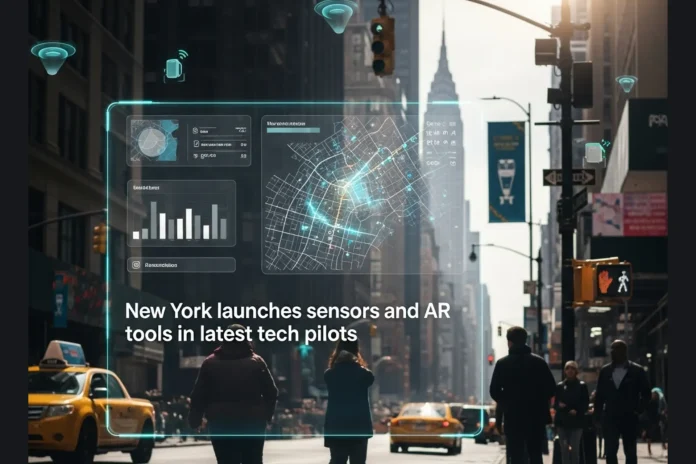
New York City has transformed its streets and parks into living laboratories, where invisible sensors track the movement of crowds, and your phone can summon a full-scale holographic image of a future recreation center.
The city’s Office of Technology and Innovation rolled out two ambitious Smart City Testbed pilots in late November 2025, marking the latest step in a quiet revolution to make urban planning faster, safer, and far more inclusive. Both projects follow the same carefully structured implementation process the Testbed program has refined since 2023: private vendors fund and deploy the technology at no direct cost to taxpayers, city agencies provide sites and oversight, and independent evaluators measure results against clear public-benefit goals.
The first pilot places small, anonymized sensors at six high-traffic public spaces across the five boroughs, including plazas, open streets, and seasonal holiday markets. Installation began in the final week of November 2025 with devices mounted on existing street furniture or temporary poles. The sensors use a combination of Wi-Fi signal detection and edge-based computer vision: raw video is processed on the device itself, individual frames are deleted instantly, and only aggregated counts (such as “47 pedestrians lingered here for more than five minutes”) are transmitted to secure city servers. Transportation engineers will receive weekly dashboards showing heat maps of dwell times and travel-mode breakdowns, data that will directly inform redesigns, such as wider sidewalks or extended curb space.
In Queens, implementation of the augmented-reality pilot was even more straightforward. Large weatherproof signs with QR codes were installed at multiple entrances to Roy Wilkins Park and nearby community centers starting November 24, 2025. When residents scan the code with any modern smartphone, a web-based AR experience loads instantly—no app download required. The platform, built on standard 3D modeling tools, overlays the planned 67,000-square-foot recreation center onto the live camera view with centimeter-level accuracy thanks to GPS and device gyroscopes. Users can walk the site, peek inside rendered rooms, and tap floating feedback buttons to answer quick polls or leave comments that feed directly into the Department of Design and Construction’s final plans.
Both trials, which run for six to nine months, follow the Testbed program’s proven playbook of short, low-risk experiments that allow the city to test cutting-edge tools without long-term commitments. Past pilots have already delivered results: computer-vision scans of more than 300 kilometers of bike lanes and LiDAR mapping of industrial corridors now guide millions of dollars in safety upgrades. The new efforts carry the same promise, backed by strict privacy rules and the city’s recently strengthened AI oversight framework.
What stands out is how deliberately these projects target equity. The pedestrian sensors prioritize locations in historically underserved neighborhoods. At the same time, the AR experience gives voice to a Black community in St. Albans that has seen far less investment than wealthier parts of the city. When the $128 million recreation center opens in 2029, the features residents requested through those QR-code sessions will be built in from day one.
City technology leaders call the pilots proof that innovation can serve all eight and a half million residents, not just the tech-savvy or well-connected. If the trials succeed, anonymized crowd tracking could expand citywide, and AR previews could become standard for every major capital project. For now, New Yorkers are getting an early glimpse of a future where data and imagination work together to build streets and public spaces that actually feel like they belong to the people who use them every day.
Learn more about the Smart City Testbed program and how to propose new pilots. Details on the Roy Wilkins Recreation Center renovation, including upcoming community meetings, are available on the NYC Parks website. The city’s open data portal, where pilot results will eventually be published, can be explored at data.cityofnewyork.us. For a broader context on New York’s approach to responsible AI in government, the GUARD Act guidelines offer a clear roadmap at nyc.gov/ai.